
Deuel County topographic map
Interactive map
Click on the map to display elevation.
About this map
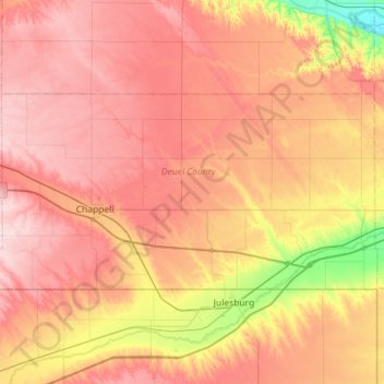
Name: Deuel County topographic map, elevation, terrain.
Location: Deuel County, Nebraska, États-Unis d'Amérique (41.00214 -102.62055 41.22144 -102.05053)
Average elevation: 1,133 m
Minimum elevation: 995 m
Maximum elevation: 1,235 m