

Make a donation
Gear up for your next adventure:
As an Amazon Associate, this site earns from qualifying purchases at no extra cost to you.
Highveld topographic map
Click on the map to display elevation.
Make a donation
Gear up for your next adventure:
As an Amazon Associate, this site earns from qualifying purchases at no extra cost to you.
Highveld
The Highveld (Afrikaans: Hoëveld, pronounced [ˈɦuəfælt], lit. 'High Field') is the portion of the South African inland plateau which has an altitude above roughly 1,500 m (4,900 ft), but below 2,100 m (6,900 ft), thus excluding the Lesotho mountain regions to the south-east of the Highveld. It is home to some of the country's most important commercial farming areas, as well as its largest concentration of metropolitan centres, especially the Gauteng conurbation, which accommodates one-third of South Africa's population.
Make a donation
Gear up for your next adventure:
As an Amazon Associate, this site earns from qualifying purchases at no extra cost to you.
About this map
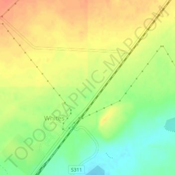
Name: Highveld topographic map, elevation, terrain.
Average elevation: 1,380 m
Minimum elevation: 1,355 m
Maximum elevation: 1,399 m
Make a donation
Gear up for your next adventure:
As an Amazon Associate, this site earns from qualifying purchases at no extra cost to you.