
Mahanagar topographic map
Click on the map to display elevation.
About this map
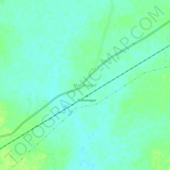
Name: Mahanagar topographic map, elevation, terrain.
Location: Mahanagar, Gazole, Maldah, West Bengal, India (25.23006 88.23140 25.27006 88.27140)
Average elevation: 31 m
Minimum elevation: 26 m
Maximum elevation: 38 m