Geolocate

Chermside topographic map

Click on the map to display elevation.

About this map

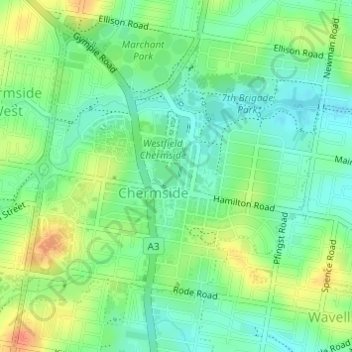
Name: Chermside topographic map, elevation, terrain.

Location: Chermside, City of Brisbane, Queensland, 4032, Australia (-27.39658 153.02032 -27.37354 153.04611)

Average elevation: 30 m

Minimum elevation: 11 m

Maximum elevation: 59 m

Other topographic maps

Click on a map to view its topography, its elevation and its terrain.

Enoggera Hill

Australia > Queensland > City of Brisbane

Average elevation: 114 m

Blunder Creek

Australia > Queensland > City of Brisbane

Average elevation: 26 m

Tangalooma

Australia > Queensland > City of Brisbane

Average elevation: 41 m

Tangalooma

Australia > Queensland > City of Brisbane

Average elevation: 41 m

Gear up for your next adventure:

🔥Emergency Fire Starter - Reliable ignition source for all weather conditions
🍽️Titanium Camping Spork - Ultralight and indestructible eating utensil
🥾Hiking Shorts - Breathable shorts suitable for summer hikes
🐕Hiking Dog Pack - Let your canine companion carry their own water and food
🥾Trail Running Boots - Durable shoes designed for trail running

As an Amazon Associate, this site earns from qualifying purchases at no extra cost to you.