Geolocate

Ellis Park topographic map

Click on the map to display elevation.

Ellis Park

Adelaide is a planned city, and the Adelaide Park Lands are an integral part of Colonel William Light's 1837 plan. Light chose a site spanning the River Torrens (known as Yatala by the Kaurna people), and planned the city to fit the topography of the landscape, "on rising ground".

Wikipedia (CC-BY-SA 3.0)

About this map

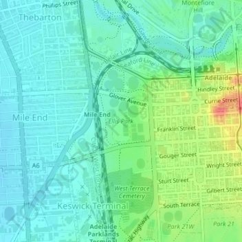
Name: Ellis Park topographic map, elevation, terrain.

Location: Ellis Park, Adelaide, Adelaide City Council, South Australia, 5000, Australia (-34.93005 138.58025 -34.92356 138.58766)

Average elevation: 33 m

Minimum elevation: 16 m

Maximum elevation: 77 m

Gear up for your next adventure:

🧭Orienteering Kit - Tools for map reading and navigation in the wild
🏃Hydration Running Vest - Carry water and maps close to your body for speed
🔦LED Flashlight - Powerful and long-lasting flashlight for camping and emergencies
🦌Outdoor Trail Camera - Monitor wildlife activity near your favorite spots
👟Trail Running Shoes - Agile footwear for fast-paced topographic exploration

As an Amazon Associate, this site earns from qualifying purchases at no extra cost to you.