Geolocate

Patti topographic map

Click on the map to display elevation.

About this map

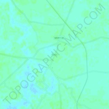
Name: Patti topographic map, elevation, terrain.

Location: Patti, Pratapgarh District, Uttar Pradesh, 230135, India (25.90355 82.18206 25.94355 82.22206)

Average elevation: 93 m

Minimum elevation: 89 m

Maximum elevation: 96 m

Gear up for your next adventure:

🛰️Satellite Messenger - Emergency communication for areas with no cell service
💧Collapsible Water Bottle - Space-saving water bottle for outdoor activities
🥫Freeze-Dried Meals - Lightweight, high-calorie nutrition for multi-day treks
🚑Survival Whistle - Signal for help across long distances in mountains
🥾All-Terrain Hiking Boots - Versatile boots for varied hiking conditions

As an Amazon Associate, this site earns from qualifying purchases at no extra cost to you.