Geolocate

Arrow Head topographic map

Click on the map to display elevation.

About this map

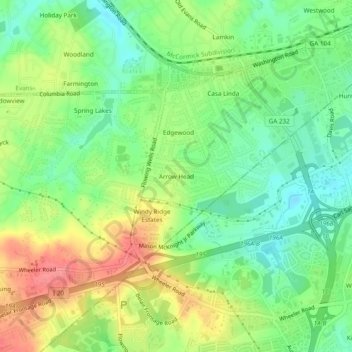
Name: Arrow Head topographic map, elevation, terrain.

Location: Arrow Head, Columbia County, Georgia, 30907, United States (33.47847 -82.12401 33.51847 -82.08401)

Average elevation: 119 m

Minimum elevation: 86 m

Maximum elevation: 163 m

Other topographic maps

Click on a map to view its topography, its elevation and its terrain.

Evans

United States > Georgia > Columbia County

Average elevation: 116 m

Harlem

United States > Georgia > Columbia County

Average elevation: 148 m

Gear up for your next adventure:

🥾Lightweight Hiking Boots - Boots for comfort and mobility on long hikes
🥫Freeze-Dried Meals - Lightweight, high-calorie nutrition for multi-day treks
🥾Hiking Shorts - Breathable shorts suitable for summer hikes
🧥Ultralight Puffy Jacket - Maximum warmth that packs down to the size of an orange
🕶️Polarized Sunglasses - Protect your eyes with durable polarized lenses

As an Amazon Associate, this site earns from qualifying purchases at no extra cost to you.