
Sabla topographic map
Click on the map to display elevation.
About this map
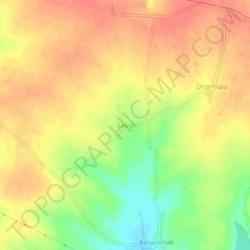
Name: Sabla topographic map, elevation, terrain.
Location: Sabla, Kaij, Beed District, Maharashtra, 431123, India (18.75198 76.03001 18.79198 76.07001)
Average elevation: 730 m
Minimum elevation: 694 m
Maximum elevation: 751 m