Naula topographic map
Interactive map
Click on the map to display elevation.
About this map
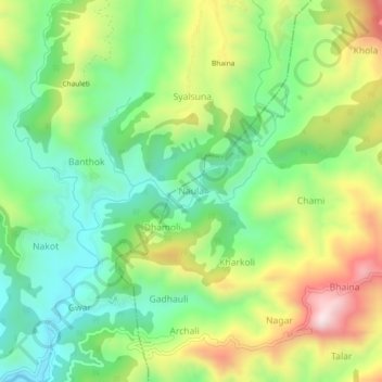
Name: Naula topographic map, elevation, terrain.
Location: Naula, Bhanoli, Almora District, Uttarakhand, India (29.58835 79.77831 29.62835 79.81831)
Average elevation: 1,562 m
Minimum elevation: 1,344 m
Maximum elevation: 1,919 m
Other topographic maps
Click on a map to view its topography, its elevation and its terrain.
Bhujyura
India > Uttarakhand > Bhanoli > Siroda
Bhujyura, Siroda, Bhanoli, Almora District, Uttarakhand, 263624, India
Average elevation: 1,989 m
Chupra
India > Uttarakhand > Bhanoli > Chilchinna
Chupra, Chilchinna, Bhanoli, Almora, Uttarakhand, 263623, India
Average elevation: 1,594 m
Jageshwar
India > Uttarakhand > Bhanoli
Jageshwar, Bhanoli, Almora, Uttarakhand, 263624, India
Average elevation: 1,976 m