
Hampton topographic map
Click on the map to display elevation.
About this map
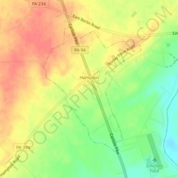
Name: Hampton topographic map, elevation, terrain.
Location: Hampton, Adams County, Pennsylvania, United States (39.91780 -77.06744 39.93764 -77.04796)
Average elevation: 157 m
Minimum elevation: 126 m
Maximum elevation: 180 m
Other topographic maps
Click on a map to view its topography, its elevation and its terrain.
Raven Rock Mountain
United States > Pennsylvania > Adams County > Liberty Township
Average elevation: 312 m
Gladhill (Greenstone P.O.)
United States > Pennsylvania > Adams County > Hamiltonban Township
Average elevation: 365 m