Geolocate

The Party Tree topographic map

Click on the map to display elevation.

About this map
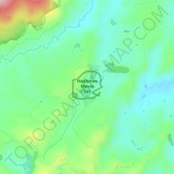
Name: The Party Tree topographic map, elevation, terrain.

Location: The Party Tree, Lakeside, Matamata Piako District, Waikato, New Zealand (-37.85811 175.68082 -37.85801 175.68092)

Average elevation: 154 m

Minimum elevation: 93 m

Maximum elevation: 303 m

Other topographic maps

Click on a map to view its topography, its elevation and its terrain.

Gear up for your next adventure:

🧶550 Survival Paracord - Versatile utility cord for emergency repairs and rigging
🥾Waterproof Hiking Boots - Essential footwear for rugged terrain and wet Canadian trails
🧥Insulated Jacket - Keep warm in cold outdoor conditions
🧤Thermal Hiking Gloves - Grip-enhanced gloves for cold-weather altitude trekking
🥾Trail Running Shoes - Lightweight and durable shoes for trail running

As an Amazon Associate, this site earns from qualifying purchases at no extra cost to you.