
Unterhimmel topographic map
Interactive map
Click on the map to display elevation.
About this map
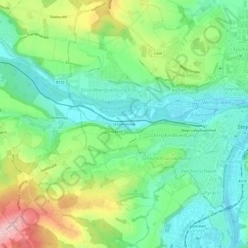
Name: Unterhimmel topographic map, elevation, terrain.
Location: Unterhimmel, Steyr, 4400, Austria (48.01939 14.37020 48.05939 14.41020)
Average elevation: 349 m
Minimum elevation: 286 m
Maximum elevation: 475 m