Geolocate

Santsoena topographic map

Click on the map to display elevation.

About this map

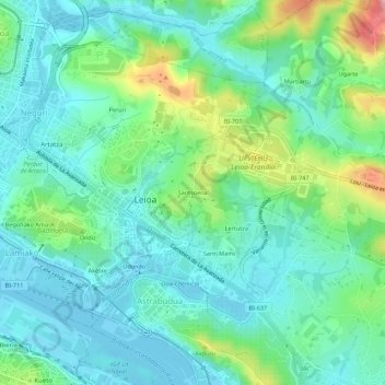
Name: Santsoena topographic map, elevation, terrain.

Location: Santsoena, Lejona, Andraka, Vizcaya, País Vasco, 48620, España (43.30783 -2.99784 43.34783 -2.95784)

Average elevation: 38 m

Minimum elevation: -3 m

Maximum elevation: 152 m

Gear up for your next adventure:

👟Leg Gaiters - Keep debris, mud, and snow out of your boots
🪜Heavy Duty Carabiners - Multi-use clips for securing gear to your backpack
🧥Waterproof Pants - Keep dry during rainy hiking conditions
🎒Backpack Rain Cover - External shield to keep your entire pack dry
🧢Sun Hat - Wide-brim hat for sun protection

As an Amazon Associate, this site earns from qualifying purchases at no extra cost to you.