Geolocate

Chaddra 1 topographic map

Click on the map to display elevation.

About this map

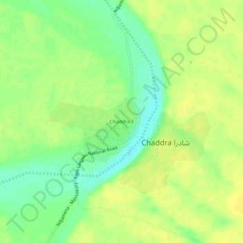
Name: Chaddra 1 topographic map, elevation, terrain.

Location: Chaddra 1, Chaddra شادرا, Bahr el Gazel, Chad (13.42524 16.02342 13.46524 16.06342)

Average elevation: 290 m

Minimum elevation: 277 m

Maximum elevation: 297 m

Gear up for your next adventure:

🧼Biodegradable Camp Soap - Environmentally friendly cleaning for gear and body
🧢Outdoor Visor - Breathable visor for sunny hikes
🧥Softshell Hiking Jacket - The perfect balance of wind protection and breathability
Lightweight Camping Tent - Portable shelter optimized for Canadian backcountry camping
🧥Waterproof Jacket - Lightweight rain jackets for hiking and outdoor activities

As an Amazon Associate, this site earns from qualifying purchases at no extra cost to you.