Geolocate

Santa Rosa Sur topographic map

Click on the map to display elevation.

About this map
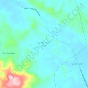
Name: Santa Rosa Sur topographic map, elevation, terrain.

Location: Santa Rosa Sur, Jose Panganiban, Camarines Norte, Bicol Region, 4606, Philippines (14.23953 122.70434 14.27953 122.74434)

Average elevation: 37 m

Minimum elevation: 3 m

Maximum elevation: 263 m

Other topographic maps

Click on a map to view its topography, its elevation and its terrain.

Gear up for your next adventure:

💧Hydration Bladder - Hands-free hydration solution for long treks
💡LED Headlamp - Hands-free illumination for night hiking and camping
💧Filtered Water Bottle - Safe drinking water on the go
👟Leg Gaiters - Keep debris, mud, and snow out of your boots
🧰Emergency Multi-Tool - Compact multi-tool for outdoor survival

As an Amazon Associate, this site earns from qualifying purchases at no extra cost to you.