
La Mata topographic map
Interactive map
Click on the map to display elevation.
About this map
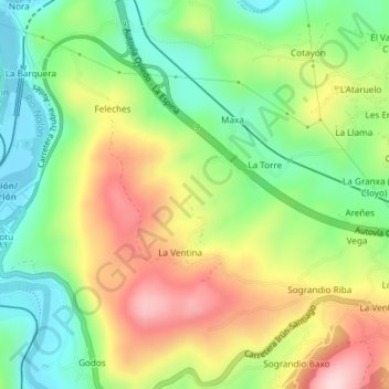
Name: La Mata topographic map, elevation, terrain.
Location: La Mata, La Ventina, Овьедо, Астурия, 33174, Испания (43.34501 -5.95543 43.36501 -5.93543)
Average elevation: 187 m
Minimum elevation: 76 m
Maximum elevation: 335 m