Geolocate

El Banco topographic map

Click on the map to display elevation.

About this map

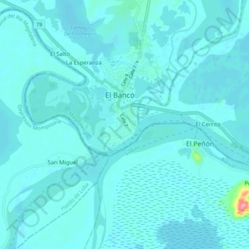
Name: El Banco topographic map, elevation, terrain.

Location: El Banco, Magdalena, Colombia (8.95538 -74.01231 9.03538 -73.93231)

Average elevation: 28 m

Minimum elevation: 20 m

Maximum elevation: 131 m

Gear up for your next adventure:

Camping Essentials - All-in-one gear for a comfortable camping trip
🥾Approach Boots - Comfortable boots for hiking and climbing approaches
🧢Outdoor Cap - Protective cap for sun and rain during hikes
🔪Outdoor Multitool - Versatile tool for repairs and food prep in the wild
💧Filtered Water Bottle - Safe drinking water on the go

As an Amazon Associate, this site earns from qualifying purchases at no extra cost to you.