Geolocate

Edge Mountain topographic map

Click on the map to display elevation.

About this map

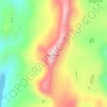
Name: Edge Mountain topographic map, elevation, terrain.

Location: Edge Mountain, Kodiak Island, Alaska, United States (58.19168 -152.11192 58.19178 -152.11182)

Average elevation: 273 m

Minimum elevation: 3 m

Maximum elevation: 577 m

Gear up for your next adventure:

🧴Insect Repellent - Protect yourself from bugs during outdoor adventures
🚲Handlebar Phone Mount - View topographic-map.com live while cycling
❄️Traction Ice Cleats - Slip-on spikes for icy trails and winter hiking
🥾Waterproof Hiking Boots - Essential footwear for rugged terrain and wet Canadian trails
🔦LED Headlamp - Hands-free lighting for early morning starts or late finishes

As an Amazon Associate, this site earns from qualifying purchases at no extra cost to you.