Geolocate

Cutler topographic map

Click on the map to display elevation.

About this map
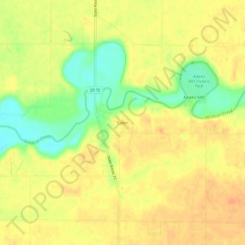
Name: Cutler topographic map, elevation, terrain.

Location: Cutler, Carroll County, Indiana, 46920, United States (40.45642 -86.54416 40.49642 -86.50416)

Average elevation: 223 m

Minimum elevation: 199 m

Maximum elevation: 235 m

Other topographic maps

Click on a map to view its topography, its elevation and its terrain.

Delphi

United States > Indiana > Carroll County

Average elevation: 179 m

Delphi

United States > Indiana > Carroll County

Average elevation: 179 m

Gear up for your next adventure:

🔪Outdoor Multitool - Versatile tool for repairs and food prep in the wild
🧢Outdoor Visor - Breathable visor for sunny hikes
🚲MTB Frame Bag - Carry tools and maps directly on your bicycle frame
⛺Camping Tent - Weather-resistant tents suitable for 2 to 6 people
🧴Sunscreen SPF - Broad-spectrum sunscreen for outdoor activities

As an Amazon Associate, this site earns from qualifying purchases at no extra cost to you.