Geolocate

Seelberg topographic map

Click on the map to display elevation.

About this map
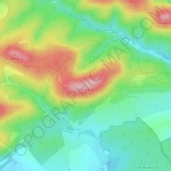
Name: Seelberg topographic map, elevation, terrain.

Location: Seelberg, Rothbach, Haguenau-Wissembourg, Bas-Rhin, Grand Est, France métropolitaine, 67340, France (48.90095 7.49349 48.90105 7.49359)

Average elevation: 259 m

Minimum elevation: 194 m

Maximum elevation: 364 m

Other topographic maps

Click on a map to view its topography, its elevation and its terrain.

67340

France > Grand Est > Bas-Rhin > Rothbach > Bruderthal

Average elevation: 255 m

Gear up for your next adventure:

⛺Family Camping Tent - Spacious tent suitable for family camping trips
🦶Anti-Blister Balm - Prevents friction and hotspots during long ascents
🏕️Camping Hammock - Integrated protection for sleeping between trees
🥾Waterproof Hiking Boots - Boots keeping your feet dry in wet conditions
🍽️Titanium Camping Spork - Ultralight and indestructible eating utensil

As an Amazon Associate, this site earns from qualifying purchases at no extra cost to you.