Geolocate

Mount Wam topographic map

Click on the map to display elevation.

About this map

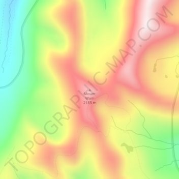
Name: Mount Wam topographic map, elevation, terrain.

Location: Mount Wam, Lincoln County, Montana, United States (48.95547 -114.81077 48.95557 -114.81067)

Average elevation: 1,944 m

Minimum elevation: 1,606 m

Maximum elevation: 2,234 m

Other topographic maps

Click on a map to view its topography, its elevation and its terrain.

Eureka

United States > Montana > Lincoln County

Average elevation: 832 m

Gear up for your next adventure:

🚑Survival Whistle - Signal for help across long distances in mountains
💡LED Headlamp - Hands-free illumination for night hiking and camping
🛏️Sleeping Bag - Warm and compact sleeping bags for outdoor camping
👟Sport Hiking Sandals - Breathable footwear for water crossings and camp rest
🔋Solar Power Bank - Keep your GPS and devices charged during long outdoor trips

As an Amazon Associate, this site earns from qualifying purchases at no extra cost to you.