Geolocate

Kottur topographic map

Click on the map to display elevation.

About this map

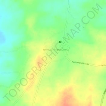
Name: Kottur topographic map, elevation, terrain.

Location: Kottur, Pollachi, Coimbatore District, Tamil Nadu, India (10.52596 76.97370 10.54753 76.98584)

Average elevation: 296 m

Minimum elevation: 273 m

Maximum elevation: 317 m

Other topographic maps

Click on a map to view its topography, its elevation and its terrain.

Pollachi

India > Tamil Nadu > Pollachi

Average elevation: 335 m

Gear up for your next adventure:

🔦LED Headlamp - Hands-free lighting for early morning starts or late finishes
🛶Kayak Accessories - Essential gear for safe and fun kayaking adventures
🧊Portable Cooler - Keep food and drinks cold during outdoor adventures
🛌Down Sleeping Bag - Superior warmth-to-weight ratio for cold nights
🧢Hiking Sun Hat - Wide-brimmed protection for exposed mountain ridges

As an Amazon Associate, this site earns from qualifying purchases at no extra cost to you.