Geolocate

Tousnina topographic map

Click on the map to display elevation.

About this map
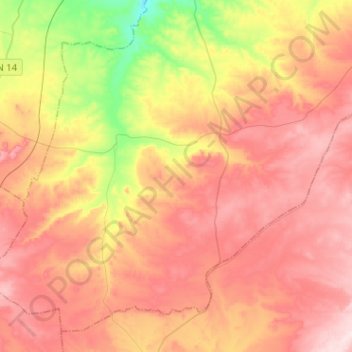
Name: Tousnina topographic map, elevation, terrain.

Location: Tousnina, Sougueur District, Tiaret, Algeria (35.00121 1.18613 35.18501 1.44127)

Average elevation: 1,140 m

Minimum elevation: 952 m

Maximum elevation: 1,280 m

Gear up for your next adventure:

🥾Light Trekking Boots - Supportive boots for multi-day treks
🛌Insulated Sleeping Pad - Critical thermal barrier between you and the cold ground
🔪Outdoor Multitool - Versatile tool for repairs and food prep in the wild
📷Outdoor Action Camera - Capture high-elevation views and rugged adventures
🕶️Polarized Sunglasses - Protect your eyes with durable polarized lenses

As an Amazon Associate, this site earns from qualifying purchases at no extra cost to you.