Geolocate

Barail Range topographic map

Click on the map to display elevation.

About this map
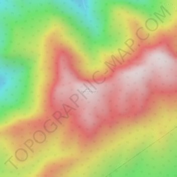
Name: Barail Range topographic map, elevation, terrain.

Location: Barail Range, Maibong, Dima Hasao, Assam, India (25.27429 93.34771 25.27439 93.34781)

Average elevation: 1,510 m

Minimum elevation: 1,116 m

Maximum elevation: 1,773 m

Gear up for your next adventure:

🥾Mountain Trail Shoes - High-traction shoes for mountain trails
👟Sport Hiking Sandals - Breathable footwear for water crossings and camp rest
🚲Handlebar Phone Mount - View topographic-map.com live while cycling
🌬️Windproof Camp Stove - Efficient cooking even on exposed mountain peaks
💧Filtered Water Bottle - Safe drinking water on the go

As an Amazon Associate, this site earns from qualifying purchases at no extra cost to you.