Geolocate

Dodge Island topographic map

Click on the map to display elevation.

About this map

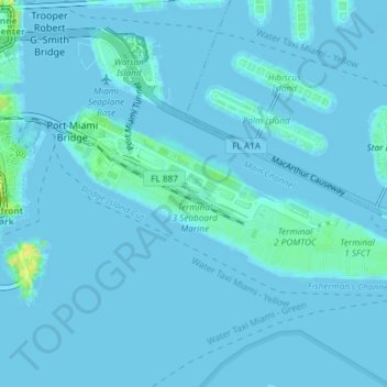
Name: Dodge Island topographic map, elevation, terrain.

Location: Dodge Island, Miami, Miami-Dade County, Florida, United States (25.76605 -80.18184 25.78120 -80.14499)

Average elevation: 2 m

Minimum elevation: -8 m

Maximum elevation: 25 m

Other topographic maps

Click on a map to view its topography, its elevation and its terrain.

HMS Bounty

United States > Florida > Miami-Dade County > Miami

Average elevation: 6 m

Miami River

United States > Florida > Miami-Dade County > Miami

Average elevation: 10 m

The Roads

United States > Florida > Miami-Dade County > Miami

Average elevation: 7 m

Shenandoah

United States > Florida > Miami-Dade County > Miami

Average elevation: 9 m

The Pines

United States > Florida > Miami-Dade County > Miami

Average elevation: 9 m

Bayshore

United States > Florida > Miami-Dade County > Miami

Average elevation: 6 m

Gear up for your next adventure:

🥤Collapsible Travel Cup - Saves space and weight in your mess kit
🥾Light Hiking Boots - Lightweight and comfortable boots for day hikes
🧼Travel Hand Sanitizer - Keep hands clean when water is scarce
🧭Orienteering Kit - Tools for map reading and navigation in the wild
🏃Hydration Running Vest - Carry water and maps close to your body for speed

As an Amazon Associate, this site earns from qualifying purchases at no extra cost to you.