Geolocate

Kalanganan 1 topographic map

Click on the map to display elevation.

About this map
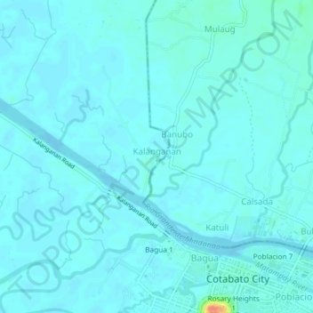
Name: Kalanganan 1 topographic map, elevation, terrain.

Location: Kalanganan 1, Cotabato City, Bangsamoro, 9600, Philippines (7.21935 124.21630 7.25935 124.25630)

Average elevation: 5 m

Minimum elevation: -3 m

Maximum elevation: 46 m

Gear up for your next adventure:

🧶550 Survival Paracord - Versatile utility cord for emergency repairs and rigging
⛺Backpacking Tent - Lightweight tent for long-distance hiking trips
☕Camping Coffee Maker - Brew fresh coffee anywhere on the topographic map
🧢Sun Hat - Wide-brim hat for sun protection
🧥Insulated Jacket - Keep warm in cold outdoor conditions

As an Amazon Associate, this site earns from qualifying purchases at no extra cost to you.