
唐塔公园 topographic map
Interactive map
Click on the map to display elevation.
About this map
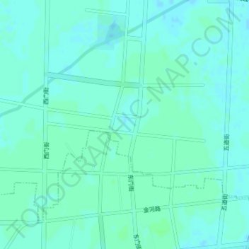
Name: 唐塔公园 topographic map, elevation, terrain.
Location: 唐塔公园, 唐塔街道, 郓城县, 菏泽市, 山东省, 中国 (35.60290 115.93963 35.60300 115.93973)
Average elevation: 48 m
Minimum elevation: 45 m
Maximum elevation: 51 m