
Ina topographic map
Click on the map to display elevation.
About this map
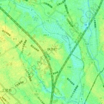
Name: Ina topographic map, elevation, terrain.
Location: Ina, 北足立郡, Saitama Prefecture, Japan (35.96970 139.59080 36.02724 139.64577)
Average elevation: 15 m
Minimum elevation: 6 m
Maximum elevation: 22 m