Geolocate

Leesburg topographic map

Click on the map to display elevation.

About this map

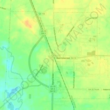
Name: Leesburg topographic map, elevation, terrain.

Location: Leesburg, Lee County, Georgia, United States (31.71620 -84.19167 31.74901 -84.14314)

Average elevation: 76 m

Minimum elevation: 58 m

Maximum elevation: 90 m

Gear up for your next adventure:

🥾Waterproof Hiking Shoes - Durable shoes for wet and rugged trails
🔭Outdoor Binoculars - Lightweight binoculars for birdwatching and hiking
🌬️Windproof Camp Stove - Efficient cooking even on exposed mountain peaks
🧳Compression Sacks - Maximize space in your backpack by shrinking gear
🧴First Aid Kit - Essential first aid supplies for outdoor emergencies

As an Amazon Associate, this site earns from qualifying purchases at no extra cost to you.