
Biesmerée topographic map
Interactive map
Click on the map to display elevation.
About this map
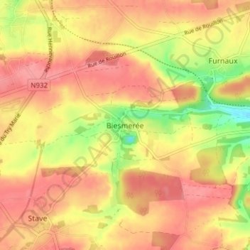
Name: Biesmerée topographic map, elevation, terrain.
Location: Biesmerée, Mettet, Namen, Wallonië, 5640, België (50.27766 4.66098 50.31766 4.70098)
Average elevation: 253 m
Minimum elevation: 201 m
Maximum elevation: 280 m