Geolocate

Masao topographic map

Click on the map to display elevation.

About this map
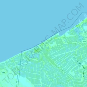
Name: Masao topographic map, elevation, terrain.

Location: Masao, Butuan, Caraga, 8600, Philippines (8.97877 125.46369 9.01877 125.50369)

Average elevation: 2 m

Minimum elevation: -1 m

Maximum elevation: 9 m

Other topographic maps

Click on a map to view its topography, its elevation and its terrain.

Taguibo Dam

Philippines > Butuan

Average elevation: 251 m

Taguibo Dam

Philippines > Butuan

Average elevation: 251 m

Taguibo Dam

Philippines > Butuan

Average elevation: 251 m

Gear up for your next adventure:

💡LED Camping Lantern - Illuminate your campsite with long-lasting lanterns
🪑Ultralight Camping Stool - Compact seating for rest stops during long hikes
⛺Backpacking Tent - Lightweight tent for long-distance hiking trips
🥾Approach Boots - Comfortable boots for hiking and climbing approaches
🧭Orienteering Kit - Tools for map reading and navigation in the wild

As an Amazon Associate, this site earns from qualifying purchases at no extra cost to you.