
Make a donation
Gear up for your next adventure:
As an Amazon Associate, this site earns from qualifying purchases at no extra cost to you.
Podgrad topographic map
Click on the map to display elevation.
Make a donation
Gear up for your next adventure:
As an Amazon Associate, this site earns from qualifying purchases at no extra cost to you.
Podgrad
The local parish church, built on a slight elevation on the edge of the village, is dedicated to the Our Lady of Good Counsel and belongs to the Roman Catholic Diocese of Novo Mesto. It was built in the early 17th century and extensively rebuilt in the 19th century.
Make a donation
Gear up for your next adventure:
As an Amazon Associate, this site earns from qualifying purchases at no extra cost to you.
About this map
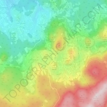
Name: Podgrad topographic map, elevation, terrain.
Location: Podgrad, Novo Mesto, 8322, Slovenia (45.71521 15.18092 45.75521 15.22092)
Average elevation: 414 m
Minimum elevation: 226 m
Maximum elevation: 689 m
Make a donation
Gear up for your next adventure:
As an Amazon Associate, this site earns from qualifying purchases at no extra cost to you.