Geolocate

Guvthal topographic map

Click on the map to display elevation.

About this map

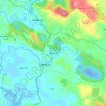
Name: Guvthal topographic map, elevation, terrain.

Location: Guvthal, Sankhali, Bicholim, North Goa, Goa, 403505, India (15.53016 73.99711 15.57016 74.03711)

Average elevation: 35 m

Minimum elevation: -32 m

Maximum elevation: 131 m

Gear up for your next adventure:

🥾Light Hiking Boots - Lightweight and comfortable boots for day hikes
🥾Lightweight Hiking Boots - Boots for comfort and mobility on long hikes
🧴First Aid Kit - Essential first aid supplies for outdoor emergencies
🚑Survival Whistle - Signal for help across long distances in mountains
🧦Hiking Liner Socks - Thin base layer to prevent friction and blisters

As an Amazon Associate, this site earns from qualifying purchases at no extra cost to you.