
Make a donation
Gear up for your next adventure:
As an Amazon Associate, this site earns from qualifying purchases at no extra cost to you.
Kirchengel topographic map
Click on the map to display elevation.
Make a donation
Gear up for your next adventure:
As an Amazon Associate, this site earns from qualifying purchases at no extra cost to you.
Kirchengel
Der Ort liegt auf einer höher gelegenen Ebene an der südlichen Abdachung der Hainleite am Rande des Thüringer Beckens 500 Meter östlich von Westerengel in einer Höhe von 350 Meter über NN. Über die Landesstraße 2088 und Bundesstraße 4 ist der Ort verkehrsmäßig günstig mit dem Umfeld verbunden.
Make a donation
Gear up for your next adventure:
As an Amazon Associate, this site earns from qualifying purchases at no extra cost to you.
About this map
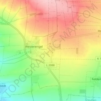
Name: Kirchengel topographic map, elevation, terrain.
Average elevation: 312 m
Minimum elevation: 233 m
Maximum elevation: 393 m
Make a donation
Gear up for your next adventure:
As an Amazon Associate, this site earns from qualifying purchases at no extra cost to you.