
Parque Nacional Patagonia topographic map
Interactive map
Click on the map to display elevation.
About this map
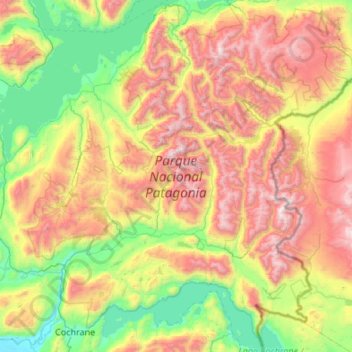
Name: Parque Nacional Patagonia topographic map, elevation, terrain.
Average elevation: 936 m
Minimum elevation: 72 m
Maximum elevation: 2,493 m