
Punta Prima topographic map
Interactive map
Click on the map to display elevation.
About this map
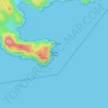
Name: Punta Prima topographic map, elevation, terrain.
Location: Punta Prima, Rosas, Alto Ampurdán, Gerona, Cataluña, España (42.23029 3.25570 42.25029 3.27570)
Average elevation: 12 m
Minimum elevation: -1 m
Maximum elevation: 162 m
Other topographic maps
Click on a map to view its topography, its elevation and its terrain.