
Bourbonais Creek topographic map
Interactive map
Click on the map to display elevation.
About this map
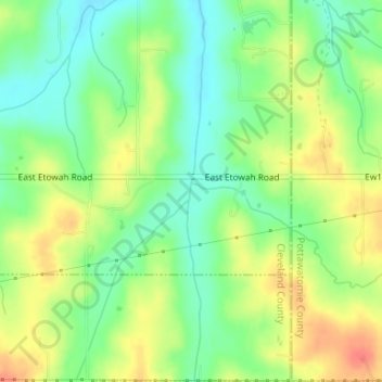
Name: Bourbonais Creek topographic map, elevation, terrain.
Location: Bourbonais Creek, Cleveland County, Oklahoma, États-Unis (35.14364 -97.15083 35.14478 -97.15069)
Average elevation: 323 m
Minimum elevation: 300 m
Maximum elevation: 351 m
Other topographic maps
Click on a map to view its topography, its elevation and its terrain.