Geolocate

Plain topographic map

Click on the map to display elevation.

About this map

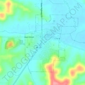
Name: Plain topographic map, elevation, terrain.

Location: Plain, Sauk County, Wisconsin, United States (43.26705 -90.05143 43.28589 -90.02824)

Average elevation: 263 m

Minimum elevation: 240 m

Maximum elevation: 339 m

Other topographic maps

Click on a map to view its topography, its elevation and its terrain.

Hill Point

United States > Wisconsin > Sauk County

Average elevation: 331 m

Cassell

United States > Wisconsin > Sauk County

Average elevation: 238 m

Gear up for your next adventure:

🧥Insulated Jacket - Keep warm in cold outdoor conditions
🧦Hiking Socks - Moisture-wicking and comfortable socks for long hikes
🥾Light Trekking Boots - Supportive boots for multi-day treks
🧥Softshell Jacket - Windproof and breathable jacket for hiking
🥾Hiking Boots - Sturdy boots providing ankle support and traction on rugged trails

As an Amazon Associate, this site earns from qualifying purchases at no extra cost to you.