Geolocate

Las Cidras topographic map

Click on the map to display elevation.

About this map

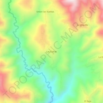
Name: Las Cidras topographic map, elevation, terrain.

Location: Las Cidras, La Coipa, San Ignacio, Cajamarca, Perú (-5.43194 -79.02289 -5.39194 -78.98289)

Average elevation: 1,196 m

Minimum elevation: 865 m

Maximum elevation: 1,631 m

Gear up for your next adventure:

🛰️Satellite Messenger - Emergency communication for areas with no cell service
👖Convertible Hiking Pants - Zip-off legs to adapt to changing weather conditions
🔪Outdoor Multitool - Versatile tool for repairs and food prep in the wild
🥾Lightweight Hiking Shoes - Comfortable shoes for day hikes
🔭Compact Binoculars - Lightweight optics for scouting trails and wildlife

As an Amazon Associate, this site earns from qualifying purchases at no extra cost to you.