
Boone Fork topographic map
Interactive map
Click on the map to display elevation.
About this map
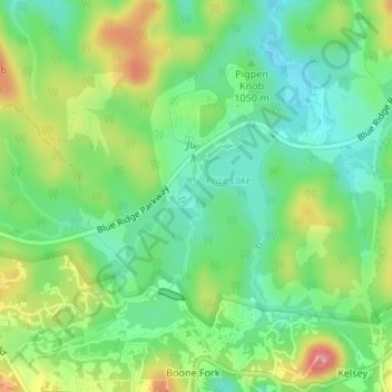
Name: Boone Fork topographic map, elevation, terrain.
Average elevation: 1,058 m
Minimum elevation: 1,016 m
Maximum elevation: 1,128 m
Other topographic maps
Click on a map to view its topography, its elevation and its terrain.
Chapel Hill
Estados Unidos de América > Carolina del Norte > Chapel Hill
Chapel Hill, Orange County, Carolina del Norte, Estados Unidos de América
Average elevation: 125 m