Geolocate

Cerro Tirano topographic map

Click on the map to display elevation.

About this map

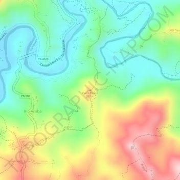
Name: Cerro Tirano topographic map, elevation, terrain.

Location: Cerro Tirano, Añasco, Puerto Rico, United States (18.27685 -67.04078 18.27695 -67.04068)

Average elevation: 138 m

Minimum elevation: 31 m

Maximum elevation: 295 m

Gear up for your next adventure:

🛁Quick-Dry Microfiber Towel - Space-saving towel that dries rapidly on the move
👟Trail Running Shoes - Agile footwear for fast-paced topographic exploration
🥘Camping Cookware Set - Compact nesting pots and pans for trail cooking
🥾Trail Running Boots - Durable shoes designed for trail running
🧢Hiking Hat - Sun-protective and breathable hats for long treks

As an Amazon Associate, this site earns from qualifying purchases at no extra cost to you.