Geolocate

Nagina topographic map

Click on the map to display elevation.

About this map

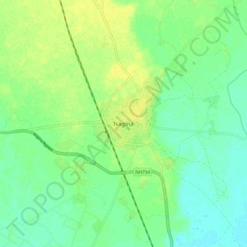
Name: Nagina topographic map, elevation, terrain.

Location: Nagina, Bijnor District, Uttar Pradesh, 246762, India (29.40077 78.38998 29.48077 78.46998)

Average elevation: 246 m

Minimum elevation: 237 m

Maximum elevation: 255 m

Gear up for your next adventure:

🥾Mountain Trail Shoes - High-traction shoes for mountain trails
🥾Mountaineering Boots - Supportive boots for climbing and high-altitude hiking
🦟Insect Repellent - Keep mosquitoes and black flies away in wooded areas
🥾Lightweight Hiking Boots - Boots for comfort and mobility on long hikes
🔪Outdoor Multitool - Versatile tool for repairs and food prep in the wild

As an Amazon Associate, this site earns from qualifying purchases at no extra cost to you.