Geolocate

Rusera topographic map

Click on the map to display elevation.

About this map

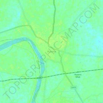
Name: Rusera topographic map, elevation, terrain.

Location: Rusera, Rosera, Samastipur District, Bihar, 848210, India (25.73383 86.00467 25.77383 86.04467)

Average elevation: 45 m

Minimum elevation: 38 m

Maximum elevation: 51 m

Gear up for your next adventure:

🥾Durable Hiking Shoes - Long-lasting shoes for frequent hiking
🧥Packable Rain Jacket - Breathable waterproof layer for unpredictable weather
💡LED Headlamp - Hands-free illumination for night hiking and camping
🧥Thermal Fleece Jacket - Versatile insulation for changing mountain temperatures
🔦LED Headlamp - Hands-free lighting for early morning starts or late finishes

As an Amazon Associate, this site earns from qualifying purchases at no extra cost to you.