Geolocate

Oro topographic map

Click on the map to display elevation.

About this map
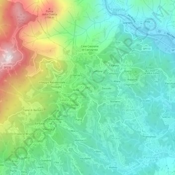
Name: Oro topographic map, elevation, terrain.

Location: Oro, Trivero, Guala, Valdilana, Biella, Piemonte, 13833, Italia (45.65023 8.14646 45.69023 8.18646)

Average elevation: 716 m

Minimum elevation: 437 m

Maximum elevation: 1,384 m

Gear up for your next adventure:

🧰Survival Kit - Essential gear for emergencies in the wilderness
🔦UV Flashlight - Detect minerals or specific insects in the dark
🥾Waterproof Hiking Shoes - Durable shoes for wet and rugged trails
🥤Collapsible Travel Cup - Saves space and weight in your mess kit
🚲MTB Frame Bag - Carry tools and maps directly on your bicycle frame

As an Amazon Associate, this site earns from qualifying purchases at no extra cost to you.