Geolocate

Kühnhaide topographic map

Click on the map to display elevation.

About this map

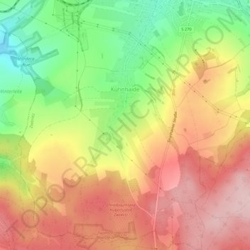
Name: Kühnhaide topographic map, elevation, terrain.

Location: Kühnhaide, Zwönitz, Erzgebirgskreis, Saxony, Germany (50.59582 12.77837 50.62947 12.81829)

Average elevation: 610 m

Minimum elevation: 487 m

Maximum elevation: 710 m

Gear up for your next adventure:

🥾Trekking Poles - Adjustable trekking poles to reduce knee stress and improve stability
🚲Bike Repair Kit - Essential tools for on-trail mechanical issues
💡LED Headlamp - Hands-free illumination for night hiking and camping
🥾All-Terrain Hiking Boots - Versatile boots for varied hiking conditions
Backpacking Tent - Lightweight tent for long-distance hiking trips

As an Amazon Associate, this site earns from qualifying purchases at no extra cost to you.