Geolocate

Moia topographic map

Click on the map to display elevation.

About this map

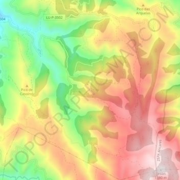
Name: Moia topographic map, elevation, terrain.

Location: Moia, Navia de Suarna, Ancares, Lugo, Galicia, 27655, España (42.89848 -6.96542 42.96401 -6.89359)

Average elevation: 868 m

Minimum elevation: 344 m

Maximum elevation: 1,370 m

Other topographic maps

Click on a map to view its topography, its elevation and its terrain.

Vilameixide

España > Galicia > Ancares > Navia de Suarna

Average elevation: 549 m

Gear up for your next adventure:

🥾Waterproof Hiking Shoes - Durable shoes for wet and rugged trails
🧴Bear Spray Holster - Quick-access carry for essential Canadian wilderness safety
🔭Outdoor Binoculars - Lightweight binoculars for birdwatching and hiking
🚲Handlebar Phone Mount - View topographic-map.com live while cycling
🧢Outdoor Cap - Protective cap for sun and rain during hikes

As an Amazon Associate, this site earns from qualifying purchases at no extra cost to you.