Geolocate

Cascajo topographic map

Click on the map to display elevation.

About this map

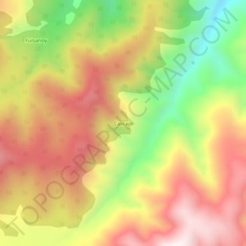
Name: Cascajo topographic map, elevation, terrain.

Location: Cascajo, Santiago, Putumayo, RAP Amazonía, Colombia (1.06027 -77.06097 1.10027 -77.02097)

Average elevation: 2,811 m

Minimum elevation: 2,371 m

Maximum elevation: 3,172 m

Gear up for your next adventure:

🚲MTB Frame Bag - Carry tools and maps directly on your bicycle frame
🔋Emergency Crank Radio - Weather alerts and power without needing batteries
🛏️Camping Sleeping Mat - Comfortable mats for sleeping outdoors
🔦LED Flashlight - Powerful and long-lasting flashlight for camping and emergencies
🥤Collapsible Travel Cup - Saves space and weight in your mess kit

As an Amazon Associate, this site earns from qualifying purchases at no extra cost to you.