
Midway topographic map
Click on the map to display elevation.
About this map
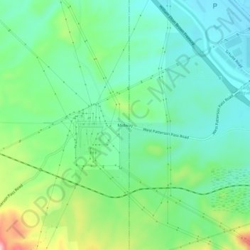
Name: Midway topographic map, elevation, terrain.
Location: Midway, Alameda County, California, United States (37.69450 -121.57787 37.73450 -121.53787)
Average elevation: 124 m
Minimum elevation: 60 m
Maximum elevation: 282 m
Other topographic maps
Click on a map to view its topography, its elevation and its terrain.
Lake Del Valle
United States > California > Alameda County
The dam is 230 feet (70 m) high and 880 feet (270 m) long. Its crest elevation is 773 feet (236 m). The dam contains 4,150,000 cubic yards (3,170,000 m3) of earth fill.
Average elevation: 339 m
Reinhardt-Redwood Regional Park
United States > California > Alameda County > Oakland
Average elevation: 292 m
Quarry Lakes Regional Park
United States > California > Alameda County > Fremont > Eberly
Average elevation: 17 m
Oakland Casting Club pools
United States > California > Alameda County > Oakland
Average elevation: 158 m
Dougherty Hills Open Space
United States > California > Alameda County > Dublin > Komandorski Village
Average elevation: 120 m