
Bükköy topographic map
Interactive map
Click on the map to display elevation.
About this map
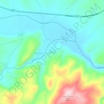
Name: Bükköy topographic map, elevation, terrain.
Location: Bükköy, Taşköprü, Kastamonu, Schwarzmeerregion, Türkei (41.44572 34.07366 41.48572 34.11366)
Average elevation: 667 m
Minimum elevation: 583 m
Maximum elevation: 900 m