Geolocate

Middle Mountain topographic map

Click on the map to display elevation.
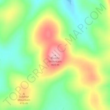
About this map

Name: Middle Mountain topographic map, elevation, terrain.

Location: Middle Mountain, St. Francois County, Missouri, United States (37.78361 -90.58073 37.78371 -90.58063)

Average elevation: 365 m

Minimum elevation: 287 m

Maximum elevation: 468 m

Other topographic maps

Click on a map to view its topography, its elevation and its terrain.

Gear up for your next adventure:

🐕Hiking Dog Pack - Let your canine companion carry their own water and food
🔋Lithium AA Batteries - Long-lasting power that performs in extreme cold
🥾Hiking Boots - Sturdy boots providing ankle support and traction on rugged trails
🌬️Windproof Camp Stove - Efficient cooking even on exposed mountain peaks
🕶️Polarized Sunglasses - Reduces glare from snow and water at high elevations

As an Amazon Associate, this site earns from qualifying purchases at no extra cost to you.